
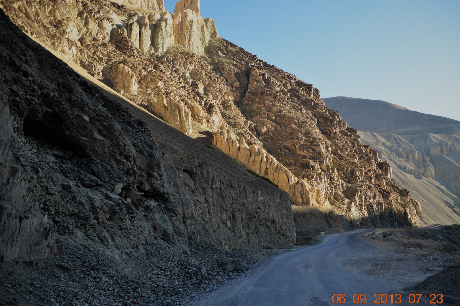
As we descend Fotu La Pass, we arrive at the small village of Lamayuru. We are about 120km west of Leh and driving on the Srinagar-Leh Highway / NH1D.
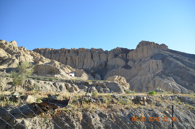
Our surroundings changed and as we enter an area with moon like landscape. This isIndia"s Moonland landscape is what makes the small village of Lamayuru so famous.

Our surroundings changed and as we enter an area with moon like landscape. This isIndia"s Moonland landscape is what makes the small village of Lamayuru so famous.


India's own lunar moon scape ...


Khaltsi


Mani wall with a row of Mani stones, Tibetan Buddhist prayer stones, as we enter Khaltse


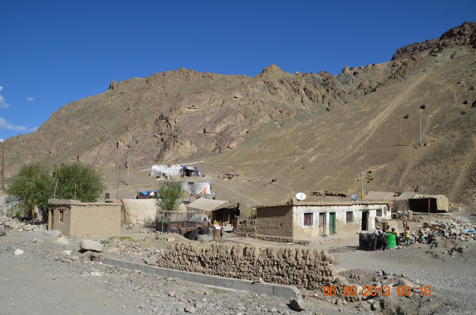

Stupas on the side of the Srinagar-Leh Highway

Kids waiting to go to school at Khalsi Town, Ladakh


Kids waiting to get to school

School here starts at 10.30am and finishes at 3.30pm. Languages taught are English and Hindi.


Khaltse Bridge
Driving from Khaltsi to Nimmoo

63km to Nimmoo / 97km to Leh

The Srinagar-Leh Highway following the Indus River as we drive east to Nimmoo

The Indus rivers originates from the Tibetan Plateau and is one of Asia's mightiest river.
We are at an elevation of 2,985m.
We are at an elevation of 2,985m.

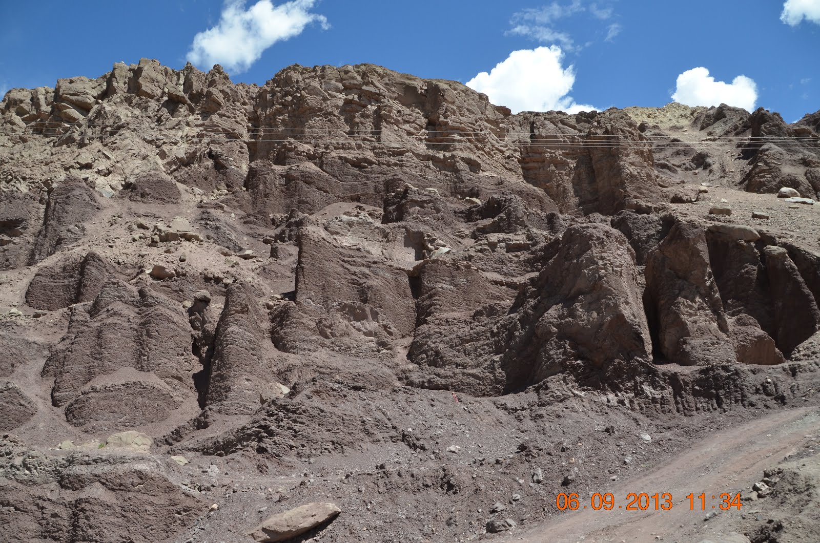
Near Nurla village. Elevation 3,030m.


Saspul Village

Saspul Village. Elevation 3,115m.


Little girl following grandma to run errands at Saspul Village

Coming over to get a closer look...

Stupas at Saspul Village


Stupas and Mani walls as we leave Saspul Village


Stupas and Mani walls as we leave Saspul Village

Group of cyclist taking a rest

Driving from Saspul Village to Basgo village


A couple of hairpins up ahead

18km to Nimmoo / 54km to Leh

15km to Nimmoo


Basgo Gompa The Maitreya Temple built around the 15th Century is a World Heritage Site...in Ladakh 44 KM from Leh. Sadly natural erosion are destroying the temple


Basgo Village near Nimmo


No comments:
Post a Comment