
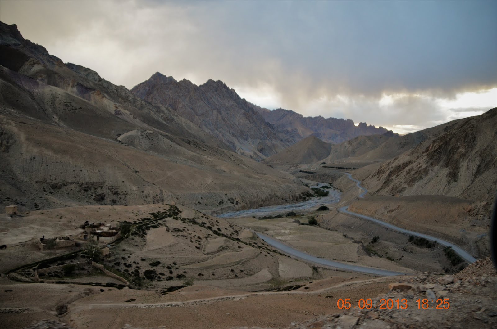
We left Mulbekh village and continued our drive to Leh. Near Heniskot village, the landscape changed as we continued our climb to 4,100m to reach Fotu La Top, the highest point on the Srinagar-Leh Highway. We are now driving in the Himalayan Zanskar Range.
View of the valley as we ascend to Fotu La Top

Part of the Zanskar mountain range

The view as we approach another hairpin on our drive up to the highest point

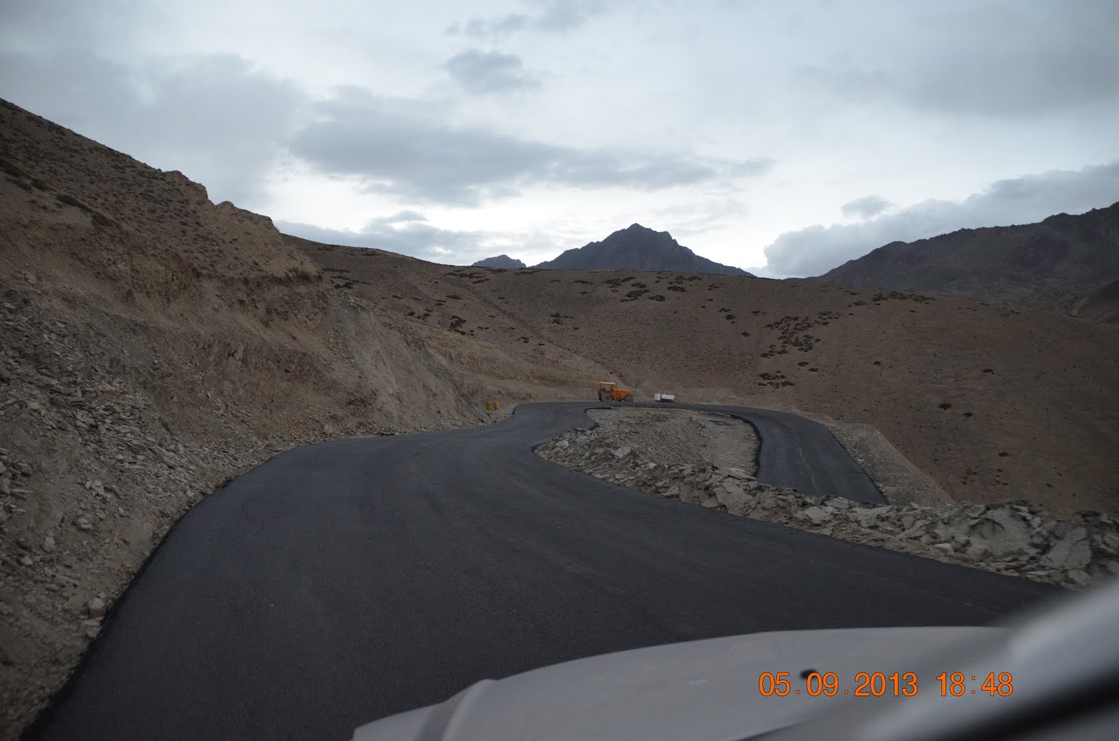
More hairpins and winding roads ahead

Approaching the highest point - Fotu La Pass

Prayer flags flap in the breeze near the stone marking the highest point at 13,479ft / 4,108m

Mum and our Sorento at the Fotu La Top


Prasar Bharati station at Fotu La Top
Making the descend to Lamayuru

The hairpins and winding roads on our descend to Lamayuru


We are losing daylight and decided to stay the night at Lamayuru. Hoping to see the lunar landscape that Lamayuru is so famous for tomorrow.

Map of the location of Fotu La Pass
It look like a sand regions and sand hill . A beauty of nature and eyes attractions . Most of Roofer In Glasgow are living in same sand like regions .
ReplyDelete