
We left Srinagar at noon, driving on the Srinagar-Leh Highway 140 km east to Dras. We drove leisurely to take in the views of the picturesque Sind Valley and the surrounding Himalayan mountain range to Sonamarg town. After Sonamarg, we continued to chase one snow capped mountain after another, all the while ascending 800m on the windy and narrow road of Zojila Pass to reach the highest point.
We arrive at Dras at 7.45 pm. We were unsure of where to stay the night and decided to continue driving eastward. Less than 10km away, we came across the Kargil War Memorial and decided to have a look around. As luck would have it, an army officer invited us to stay the night at the Indian Army Guest Mess
We arrive at Dras at 7.45 pm. We were unsure of where to stay the night and decided to continue driving eastward. Less than 10km away, we came across the Kargil War Memorial and decided to have a look around. As luck would have it, an army officer invited us to stay the night at the Indian Army Guest Mess
__________________________
Sind Valley
Sind Valley is a 65km stretch from Ganderbal to Zojila. In the narrow valley, the Srinagar Leh Highway hugs the River Sind. The lush greneeries and meadows of Sind Valley is surrounding by snow covered mountain peaks and countless glacier fed streams. The turquoise waters of the River Sind is mostly fed by the melting Machoi Glacier, located south of Zojila Pass.


Lush green vegetation and alpine forest along Sind Valley

River Sind runs westward for 108km joining the south flowing Jehlum River at the edge of Ganderbal.


Giving our Sorento a little TLC at the water point near Gagangir

Crystal clear waters from the surrounding mountains at a water point along the Srinagar-Leh Highway
__________________________
Sonamarg
Sonamarg was once an important point along the ancient Silk Road, connecting China to Kashmir. Sonamarg is surrounded by multiple glaciers.
View of a Glacier as we approach the bridge to Sonamarg village

The Glacier up close

Our Sorento and the Glacier

A toll gate before the Sonamarg Bridge. We paid the 50 Rupees fee and continued to Sonamarg.

Arriving at Sonamarg Village.

Sonamarg... a valley of lush green meadows and glaciers at 2,700m above sea level.

Thajiwas Glacier in the distance

Thajiwas Glacier
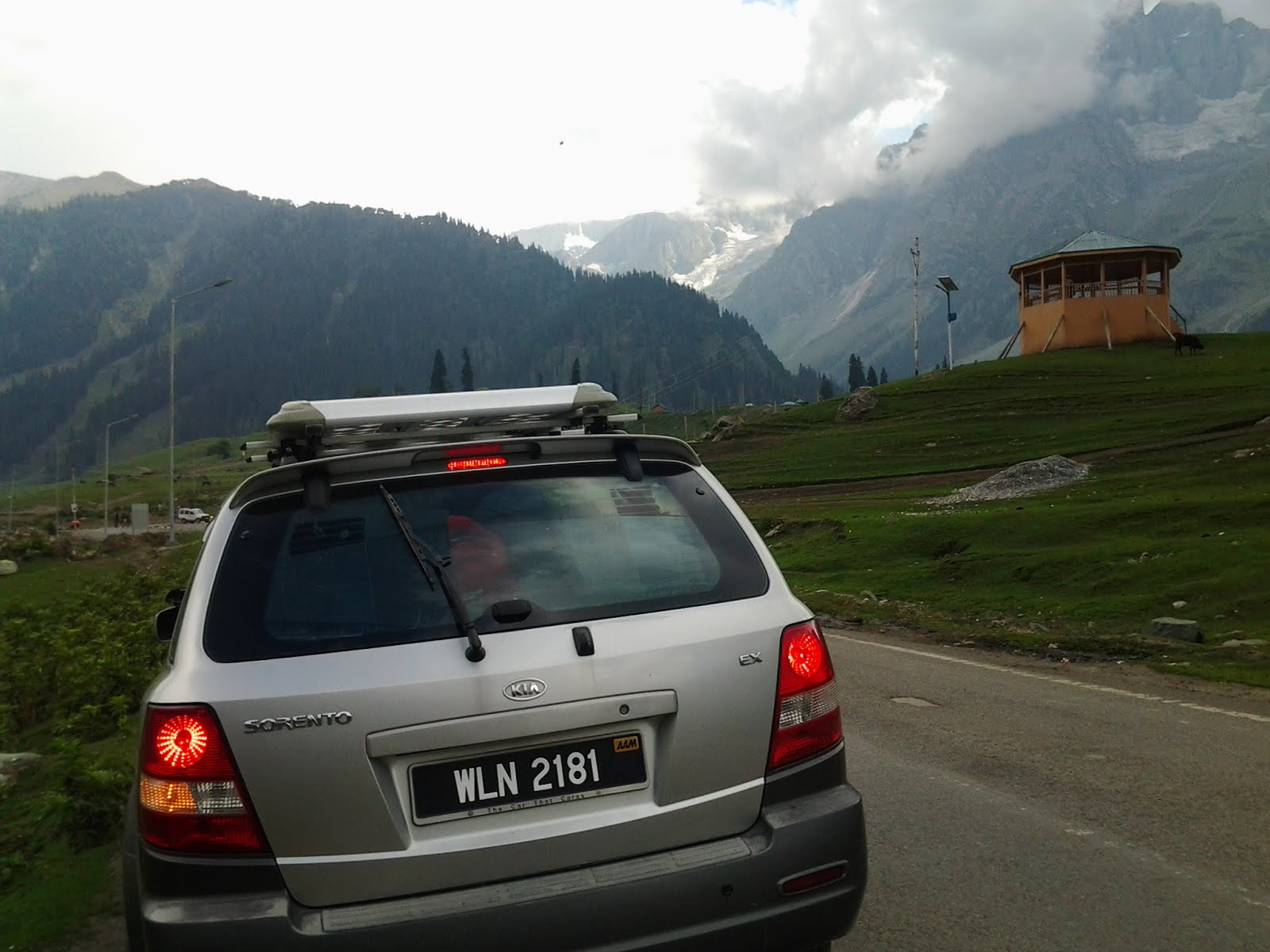
Our Sorento and the Thajiwas Glacier


View of the Sind Valley as we leave Sonamarg towards Zojila Pass
__________________________

Our route from Srinagar to Dras along the Srinagar-Leh Highway.
Averaging at 2,500m above sea level, peaking at 3,550m at Zojila Pass. The roads will be closed during winter due to heavy snow and avalanche.
__________________________
Zojila Pass / Zoji La
Leaving Sonamarg, we begin our ascend up the winding and often narrow roads up to Zojila Pass. As we ascend, vegetation gave way to barren rocky mountains.Zojila Pass is the third highest point on the 434 km Srinagar-Leh Highway. It is the gateway to the Ladakh region. The area is also called Zero Point as temperature averages 0 degrees.

One of many amusing message from the BRO... "Be Gentle On My Curves". We begin our ascend to Zojila Pass.

View of the Himalayan mountain range

Rugged rocky Mountains

Sind Valley

The last of the nicely paved road.. leaving River Sind


At Baltal, the River Sind flowing from its source, Machoi Glacier, westward along Srinagar-Leh Highway to meet the Jehlum River.


Bottleneck as trucks with heavy load struggle to climb the steep slope to Zojila Pass.
Widening works in progress at this section.

A closer view of the trucks ascending the pass
A video of our drive up Zojila Pass:

Sun shining through rain clouds

On gravel road now


The winding roads to Zojila Pass

Hugging the sheer wall, driving towards a hairpin bend... Luckily the road was not wet and slippery.
The gravel road was narrow, with a sheer drop to one side. Unforgiving, only one vehicle can pass at a time creating a bottle neck. It gets more treacherous when it rains and at winter time, earning the Zojila Pass the title of one of the world's most dangerous roads.

Closer view of the winding roads hugging the mountain side

A gentler climb here

View to the back


Lush green pasture, melting snow and a hairpin bend

Another Glacier in the distance

Could those be the Machoi Glacier?

Slowing down for a herd of sheep heading towards greener pastures

Nimble footed sheep making their way down the mountain slope

hmmm... how do I get down now...

Nearing the highest point of Zojila Pass

Finally, at the highest point on the Zojila Pass - 11,649 ft or 3,550m above sea level. This is the third highest pass on the Srinagar-Leh Highway.

Our Sorento at Zojila Pass

Me at the wheels

A board informing us that we are now at the second coldest inhabited place on Earth

A sign welcoming us to the region of Ladakh on the way down Zojila Pass towards Dras.
Goodbye beautiful Kashmir region!
No comments:
Post a Comment